
~Gavel Fell~
20th September 2020
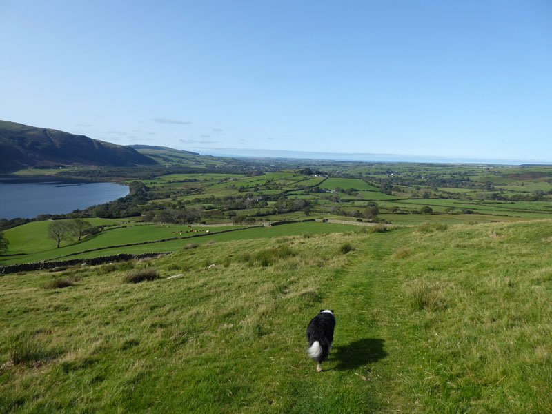
Gavel Fell Summit
 |
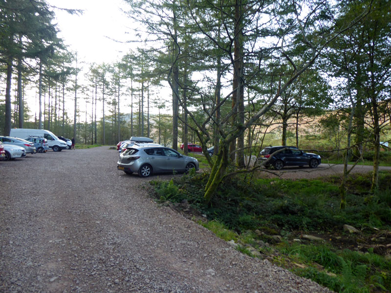 |
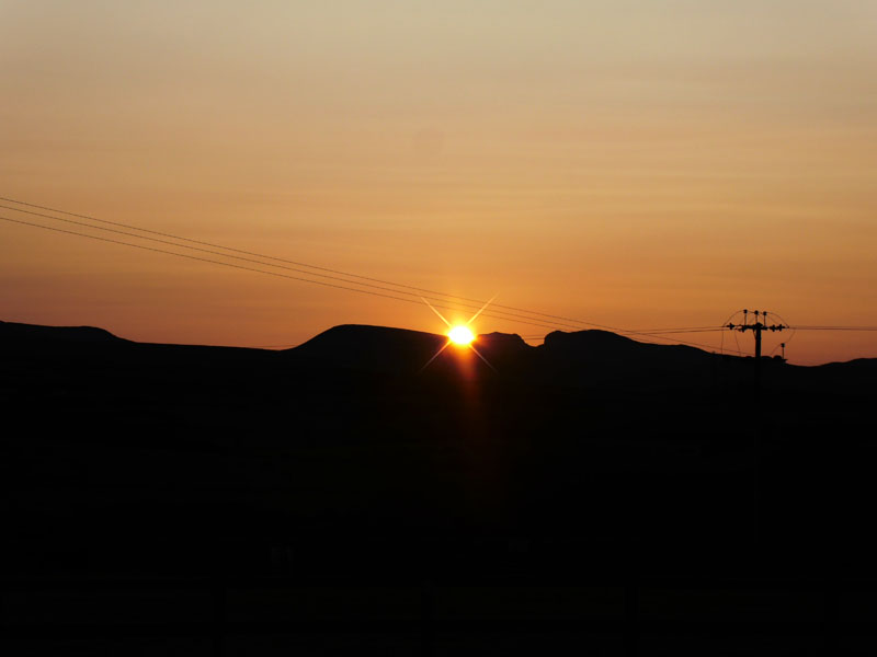
The sun rises over the Scafells and in a few days, if it's not cloudy, the sun will rise from between Scafell Pike and Scafell - as seen from Ellergill Raise campsite at 07:14hrs. Bowness Knott car park is filling up, but I can tell that quite a number of vehicles have been here overnight, maybe camping out or at Black Sail Hostel.
Bracken on Great Borne
I'm using the same paths as yesterday to gain height. I examined Wainwright's Book to consider ascent routes up Gavel Fell and was defeated. The one up by Croasdale Farm is not shown as a public right of way on the OS Map; the one from Whins looked like it could run up through a field populated by cows; the other option(s) from Loweswater were not really what I wanted, having camped with Ennerdale in mind.
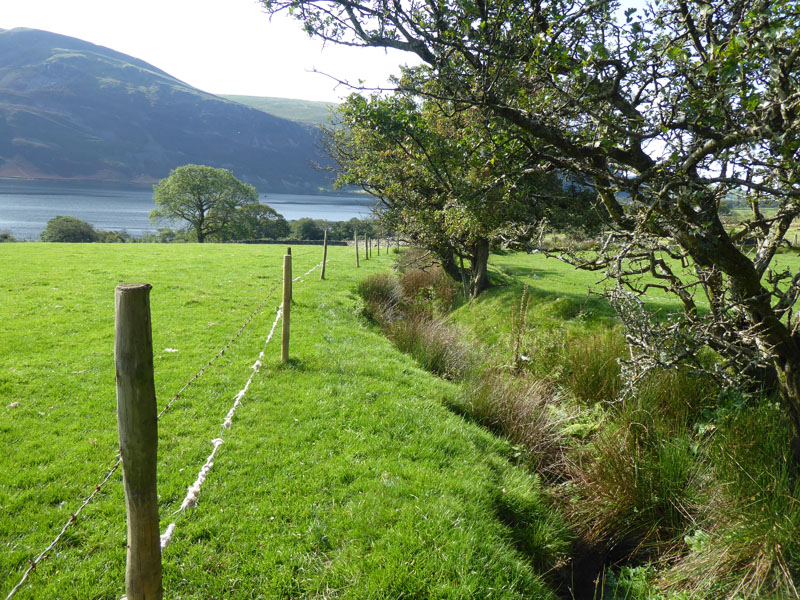
Gill Beck
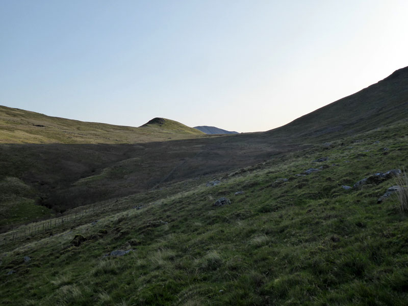
Instead of climbing Herdus, we carried on along a fence line just on the west side of Gill Beck. Gill Beck? Next we'll have Fell Pike or Lake Mere... Floutern Cop lies ahead.
 |
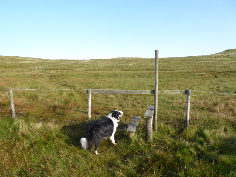 |
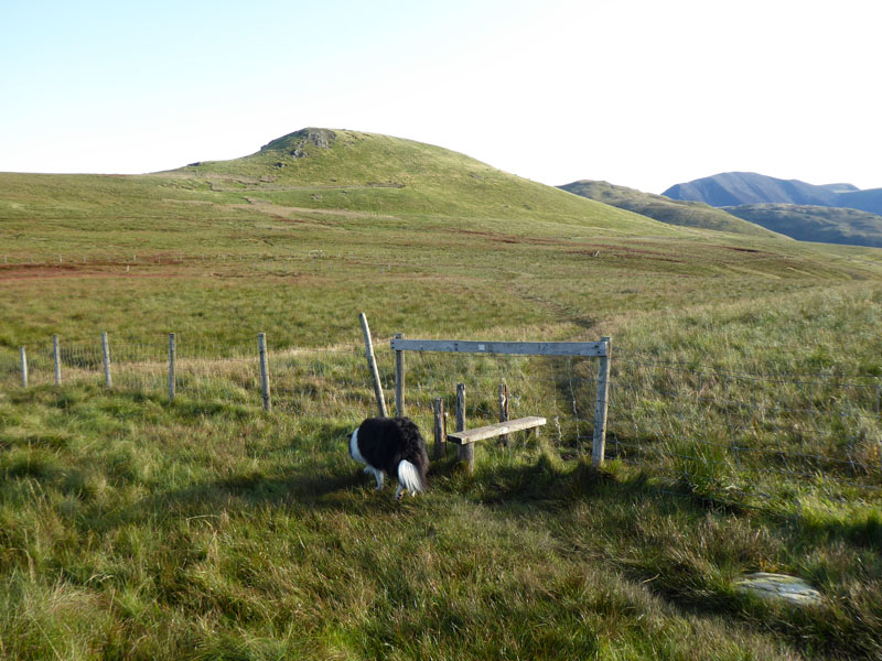
Stile One |
Stile Two |
Two stiles in quick succession, both requiring Molly to be picked up and dropped over the other side. Not ideal.
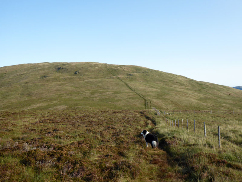
Gavel Fell Ascent
Molly gazes over to Banna Fell. The ascent is quite straightforward and only a fool could go wrong. With a bit of luck, the summit will be quiet, we've seen nobody else in the area, so far....
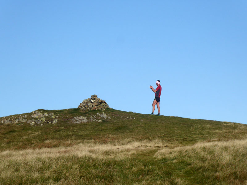
Runner at the Summit
Ah well, the runner was taking morning exercise and now recording on video his achievement. I kept still as the camera panned in my direction. Maybe I'm on YouTube somewhere?
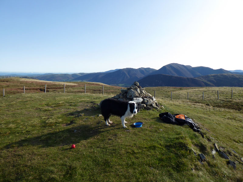
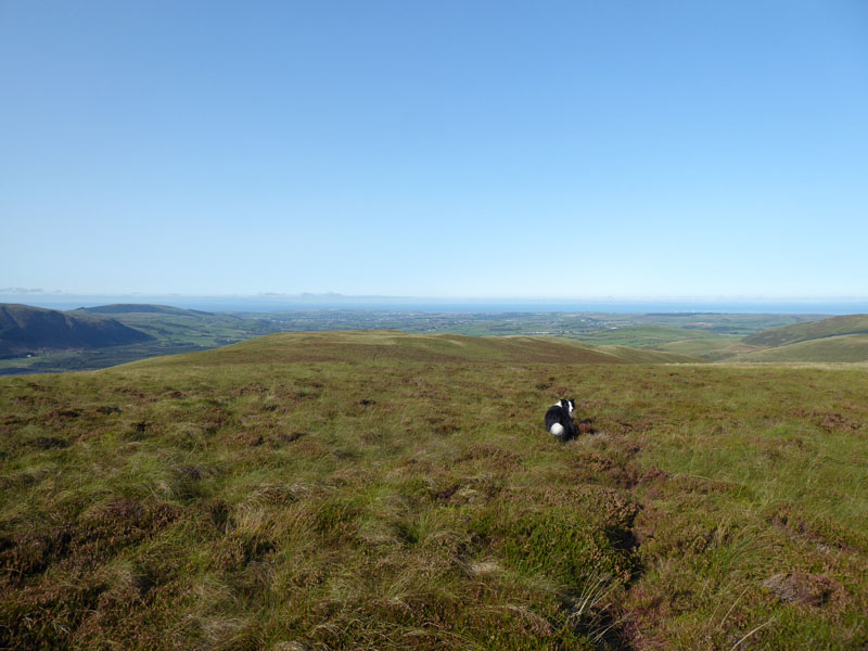
Molly on top of Gavel Fell 1,720ft asl
Ball, water, my rucksac, all part of the photo furniture. We were here a couple of years ago on an immensely hot day. I asked the runner his opinion on walking over Banna Fell and down to Croasdale and showed him the map with "paths" shown, but not marked as public footpaths. He thought it would be ok and I also thought we might "get away with it". Banna Fell is within Open Access Land and we are allowed to walk on there as long as we don't disturb wildlife, sheep or naked sunbathers.
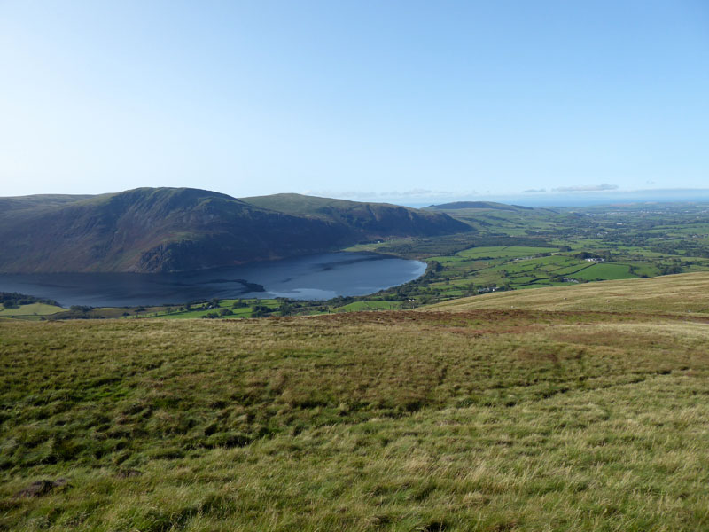
Banna Fell
Banna Fell has a long and wide fellscape and a few sheep trod(s). Is more than one trod, trods or is it like sheep?
 |
 |
Banna Fell View |
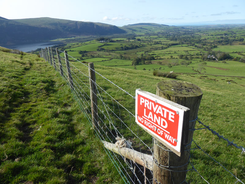
Private Land |
Ah well, I enjoyed wandering along Banna Fell and soon enough found one of the paths marked on the map. It lead directly to the "Private Land" sign. There can be little doubt that it would be unwise to continue and so we contoured around the front of Banna Fell, staying within the Open Access Land. No doubt someone has rewritten the Wainwright book and pointed out that the ascent route from Croasdale is not allowed; I'd rather find out for myself. Wainwright admitted that his books were immediately out-of-date after they were published and readers should make their own personal notes. I will do just that.
"Whins Path"
Less than 30 minutes later, we are on the public bridleway which runs up from Whins - the cows were in a field away from the walking routes.
To The Lake
After crossing the road at Whins, a public footpath runs along a field edge and over an awkward stile before making its way down to the lake. For the record, cows have been in the lower field on this path and can get down to the water edge.
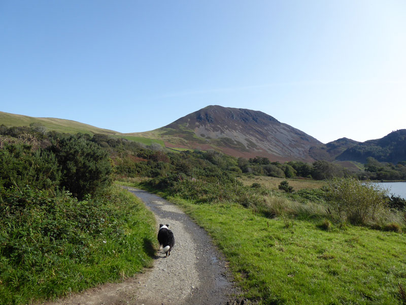
Ennerdale Shoreline Path
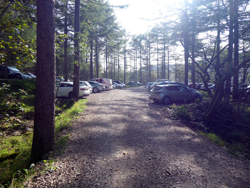
The Car Park
Walkers: Molly and Me.
Time taken: 3hrs 40minutes over a distance of about 7.5miles.
Route: Bowness Knott Car Park, path up Great Borne ascent and then along to Floutern Cop. Fence line up to Gavel Fell. Back down the fence and off to Banna Fell, failed exit to Croasdale Farm and contoured around to Whins Path, Whins, Ennerdale Water, back to the car park.
Weather and conditions: Sunny and warm.
Refreshments: Brew and cake back at tent. Hot Tip: leave your tent up on the morning of departure (if allowed) - the dew will dry off as you enjoy a walk.
On the drive home, I pulled off the A65 at Clapham for a short break. On the way back to the A65, this is the scene which greeted us:
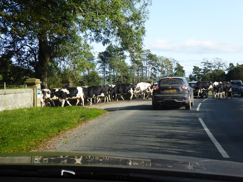
Bloody Cows!
All photos copyright Richard Ratcliffe 2020 ©
Take me back to the start ....